
Mahi River
- The Mahi basin lies in the states of Madhya Pradesh, Rajasthan and Gujarat
- The river has total area of 34,842 Sq.km
River Boundary
It is bounded by
- Aravalli hills on the north and the north-west,
- Malwa Plateau on the east,
- the Vindhyas on the south
- the Gulf of Khambhat on the west.
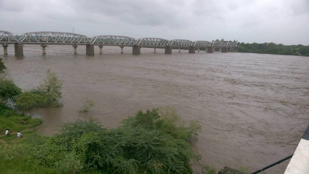
- Mahi is one of the major interstate west flowing rivers of India.
- Vadodara city is located on the bank of Mahi river
Source of the river
It originates from the northern slopes of Vindhyas at an altitude of 500 m near village Bhopawar, Sardarpur tehsil in Dhar district of Madhya Pradesh.
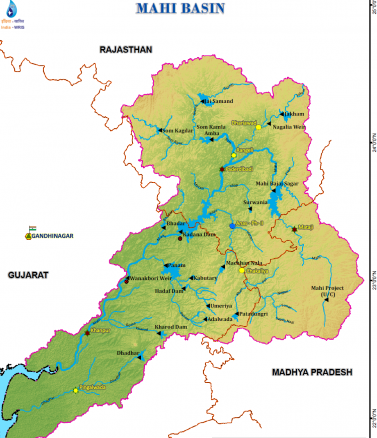
Tributaries of the river
The Som is its principal tributary which joins from right, and the Anas and the Panam joins the river from left.
Mouth of the river
It drains into the Arabian Sea through the Gulf of Khambhat.
Tributaries Explanation
Anas
- Anas River rises near Kalmora on the Northern slopes of Vindhyas in Jhabua district in Madhya Pradesh
- It flows in the North – West direction.
- It joins the main river Mahi on left bank in the Dungarpur district in Rajasthan.
Panam
- Panam river rises near Bhadra on Northern slopes of the Vindhyas near Jhabua district in Madhya Pradesh.
- It flows in the North – West direction
- It joins the main river on the left bank in the Panchmahal district of Gujarat.
Dams
- Kadana Dam – Gujarat
- Mahi Bajaj Sagar Dam – Rajasthan